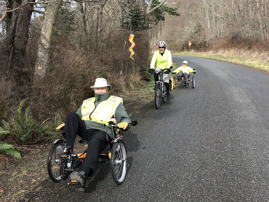
Close

Trail Times, Spring 2021: Section 2 of the Old Military Road Trail

Trail Times is a continuing series of articles introducing the Old Military Road Trail (OMRT), a proposed 18-21 mile cross-island non-motorized multi-use trail linking English Camp and American Camp and honoring the original Old Military Road.

Welcome to Spring and another segment of the intriguing Old Military Road Trail to explore. Today, we leave remnants of the original military (Cowichan) road as we travel along Section 2 but will rejoin the road further on. 


The original “Cowichan” Road, built largely by Cowichan laborers of the Salish Tribe, was established in the 1850s-60s as a sheep run for the Hudson’s Bay Company’s Belle Vue Farms, and was located at what is now American Camp. This sheep run later became the military road linking English Camp and American Camp during the “Pig War” of 1859-1872. The road served as a vital “hotline” between the two camps, allowing communication and encouraging social interaction that contributed to the Pig War’s peaceful resolution. The road later became an essential multi-spurred backbone route for the island’s settlement and commerce.

OMRT’s Segment 2 begins near the corner of the Frazer homestead preserve at the intersection of Rosler Road and Cattle Point Road. It travels along False Bay Road and provides striking vistas of the Olympic Mountain range, historic agricultural structures and shoreline access at the University of Washington Preserve at False Bay. 

Here the road widens a bit to accommodate limited parking and some handicapped access, before continuing on to end at Bailer Hill Road. This rural road, approximately 3-1/2 miles in length, accommodates hiking and biking as well as vehicle traffic. Please use the shoulder and be courteous of other traffic. Limited parking is available at Rosler Road, 300 yards south of the intersection of Cattle Point and False Bay Roads and also at the False Bay Preserve.

Fun along the road is not a new concept! Here, the homesteading Roslers and other island families gather at the junction of Rosler and Cattle Point Roads. Photo: San Juan Historical Society and Museum

If you park at Rosler Road, here’s a little reminder of the Rosler and Frazer family settlers. Christopher Rosler left his native Germany at 14, went bust digging for gold and joined the army. When he mustered out at American Camp he married Anna Pike, a native Tsimshian from Alaska, down with her family to fish the well-known Salmon Bank. Native women were extremely skilled in the use and care of natural resources and were a huge boon to early settlers success. San Juan Island pioneers were closely connected, helping one another out when needed, raising barns, sharing farming equipment and chores and trading food supplies they had raised. They worked hard and played hard. 


After Lyman Cutlar, of pig shooting fame, abandoned his farm, it was snapped up and later homesteaded by Louisianan Robert Frazer. He married Mary Jane Fleming and expanded his farm to 320 acres. These early settler homesteads of the Roslers and Frazers have private residence structures still standing.


Part of the Frazer Homestead is a 68-acre Preserve acquired to protect farmland and scenic views along Cattle Point Road. A 1-1/2 mile walking trail connects the Frazer Homestead Preserve to the American Camp visitor center. (see our 2020 Spring Trail Times article) 


Beginning at the Cattle Point Road end of False Bay Road, continue about a mile past homes, red alder groves and wetlands for a stunning view of the Straitsview Farm Barn built by Peter Lawson in 1863. He came to the island from Denmark in 1856 and married Fanny Lawson who had arrived in Victoria on a bride’s ship from England. The farm and barn, since restored, are now protected by a conservation easement managed by the San Juan Preservation Trust.

This 281-acre 150+ year old working farm includes just under 1,400 feet of natural, undisturbed shoreline, sweeping pastureland, and of course, a restored historic barn.

About two miles along, False Bay Road begins peek-a-views of False Bay and soon passes the former home and studio of Marjorie Walker. Marjorie was an unconventional well-to-do New York artist who left city life to live on rural San Juan Island. From her “Little Different Studio” she created her art and taught many islanders, both children and adults to paint, draw, and work clay on the potter’s wheel. Using five-foot-tall wood-framed windows and lumber salvaged from an old Friday Harbor school, Walker built her rose-covered studio, exchanging art classes for construction work she was unable to do herself. A few steps away from the studio, she built a kiln shed and dug island clay from the banks of False Bay above the shoreline. (many thanks to Sandy Strehlou, Historic Preservation Coordinator for this information)

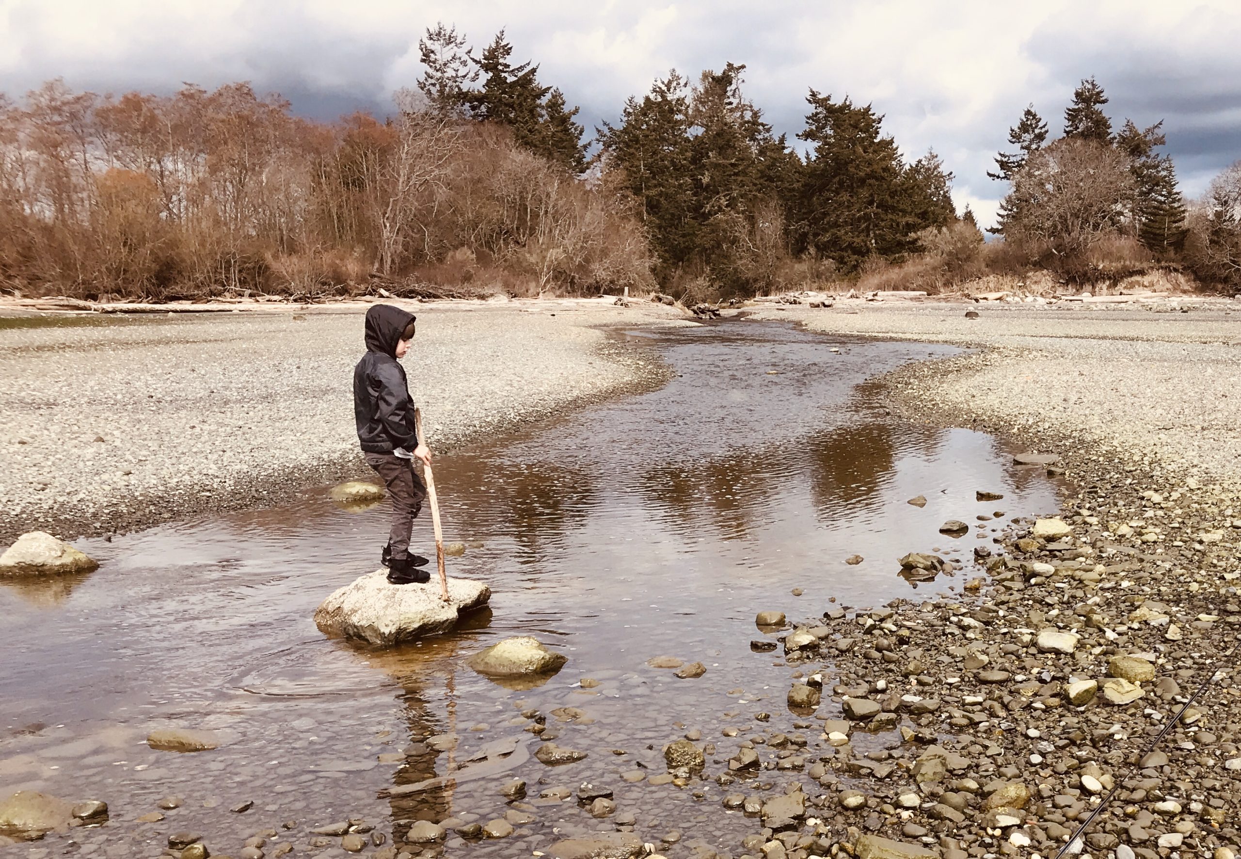
As you approach False Bay at high tide, it appears to be a great boating harbor. However, when you see it at low tide, you get a good look at not only clay, but mud – lots and lots of mud! This 320-acre University of Washington Preserve is almost a mile of mudflats at low tide, rich in nutrients and teeming with life. The food chain for our more familiar larger species like salmon and Orca starts in these shallow bays and estuaries. Rubber boots might come in handy, along with a tolerance for mud and the pungent scent of sun-baked marine life.

Bicyclists are encouraged to ride single file and motorists also to be courteous.
Mud can squish between ones’ toes during the careful search for precious, often tiny life, unusual shellfish, flame colored worms, shell stealing crabs and miniature stickleback fish.

Take care in the Preserve to respect these critters. No collecting. For a fascinating look at the sea life here at low tide watch Michael Noonan’s short film, “Through Her Eyes”, with Dr. Drew Harvell available on the sjpt.org website.

Shore birds know about the rich pickings here, too. Following the tide, hungry birds strike at their prey and escort the tide out and back. False Bay is one of the most reliable places on the island for shorebirds in migration. Sharp-tailed Sandpiper and large numbers of American Wigeons, along with many other ducks feed on the rich smorgasbord here in the winter. Bald Eagles are numerous, and nest sites are plentiful around the bay. Check willows along the shoreline for songbirds.


And if these discoveries aren’t enough to grab you, here’s some quirky history. Word has it that before the University of Washington acquired False Bay a developer had once planned a housing community on stilts for False Bay. Imagine that! 

On its meandering way to the Bay, False Bay Creek creates small pockets critically important to organisms requiring the daily interaction between salt and freshwater.


Just to the north along the east side of False Bay Road, in the Spring a couple lines of daffodils mark an abandoned road into what was once known as the Cry Baby House, a haunted house, now demolished. Perhaps if you listen carefully, you will hear the sounds of an unhappy baby. 

Further up, also on the east side of the road, you will see a beautiful white barn, part of the Whittier estate where thoroughbred horses have been raised.

Old barns such as these are a historic reminder of the importance of ranching and agriculture on San Juan Island, essential activities continuing today.

Once you arrive at the intersection of False Bay and Bailer Hill Roads you are at the end of Section 2 of the Old Military Road Trail. 


Section 3 of the OMRT, leading up to the Land Bank’s Zylstra Lake Preserve is as yet undefined but it is hoped public and/or private easements might someday connect from here to the preserve. 


We hope you have enjoyed this little jaunt into history and the gorgeous views on San Juan Island. More to come in an Old Military Road Trail Summer Trail Times. Meanwhile, check out our website www.oldmilitaryroadtrail.org and feel free to lend your name as a supporter of this legacy effort.


See you out there! Robin Donnelly for the OMRT Committee